Hiking has always been a love of mine. I have dreamt of amazing thru hikes on gorgeous trails like the Pacific Crest Trail and the Appalachian Trail. I have visions of backpacking long trails in glowy sunlight you only find in the woods and of climbs that lead to views that take your breath away as much as the increasing elevation did.
Then I remember the effort in the climb, the tenacity and grit the trail demands and the time commitment to accomplish such a goal. The closest opportunity I have in the foreseeable future and as a realistic option for me is the Superior Hiking Trail. This trail is also amazing.
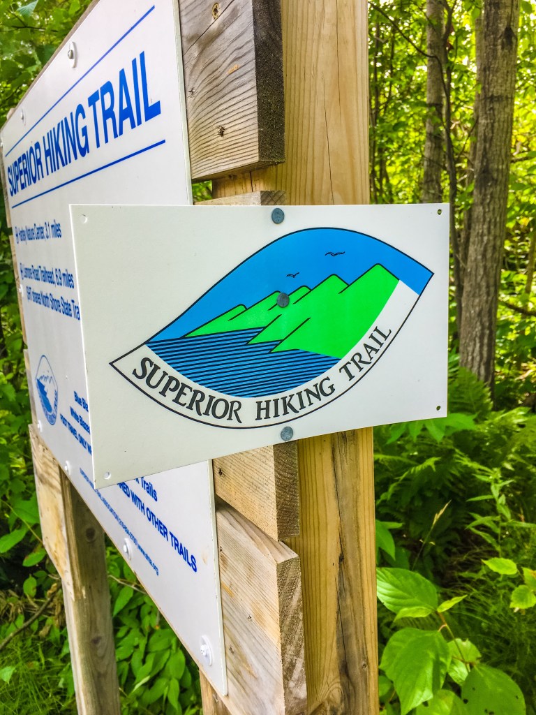
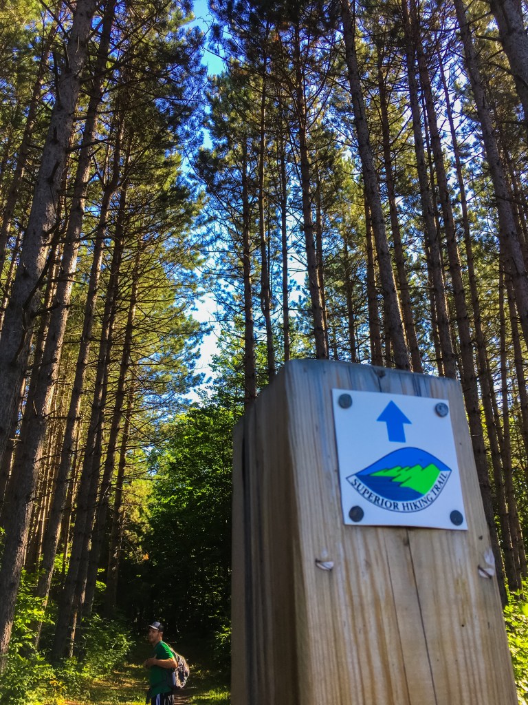
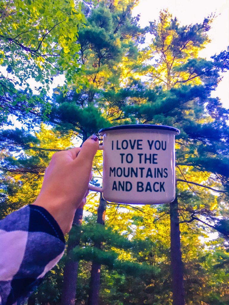
It turns out this trail is all of those things I imagined and more. While we are only just over 50 miles into our journey, the respite and escape the trail provides for us is already leaving a lasting imprint on our heart. The moment our feet step on that trail and the familiar blue blaze lies ahead, a lightness in my soul returns. A freeing feeling of us and the trail and the memories the journey will leave us with.
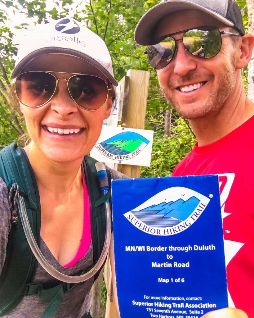
Here is our journey so far as we completed Map 1-Southern Terminus at the WI/MN border to Martin Road in North Duluth (52.5 miles).

Last week we parked at the Wild Valley Road Trailhead to begin our second “weekend” hike of the Superior Hiking Trail (SHT). From here it is 1.9 miles to the WI/MN border where the Southern Terminus lies. This section is an out and back as no trailhead exists at the actual terminus. That means you have to hike 1.9 miles to reach the terminus and turn around and hike 1.9 miles back to where you started before heading in the opposite direction.

Since we did not start our hike until 3:30 we decided to run this out and back section to save on time, and we love to run. It was a perfect section to run some trail miles. 20 minutes in to our run, Ryan got stung twice in the arm by a bee. Only Ryan attracts and is stung by so many bees. He proclaimed to be ok, so we continued on over the Red Creek bridge and onward to the Souther Terminus at the WI/MN border.

Here we documented our adventure and turned around to where we began. It felt good to actually have crossed the start line since last year we began our hike and ended up doing the middle section of this map. Ironically, this was a good thing since we wouldn’t have been comfortable hanging out in breweries and a coffee shop in Duluth like we did last year pre/post hikes.

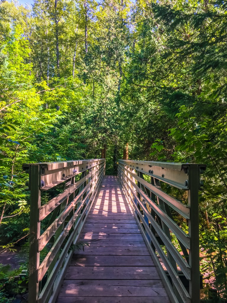
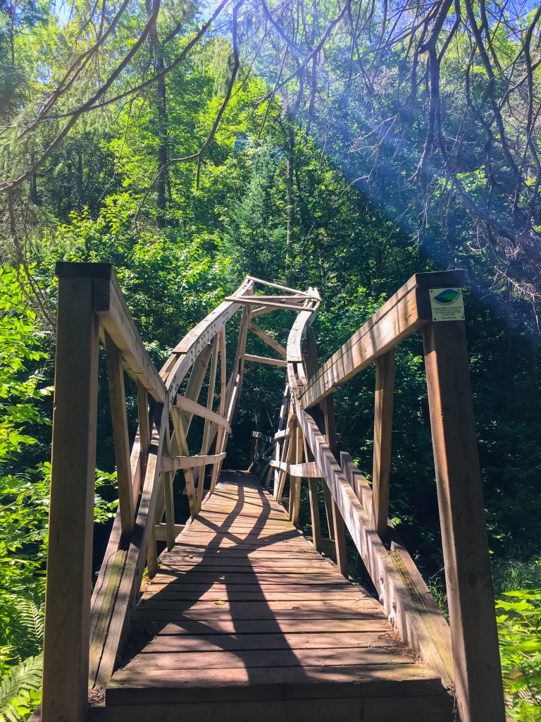
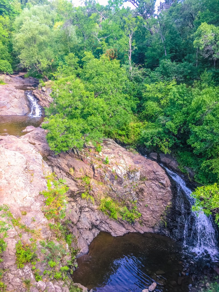
A quick change of clothes at the car and we were back on the trail headed to Jay Cooke State Park. This section includes 5.9 miles of beautiful trails, occasional views of the St. Louis River and ends with a climactic finish by crossing the swinging bridge before the Visitor Center.


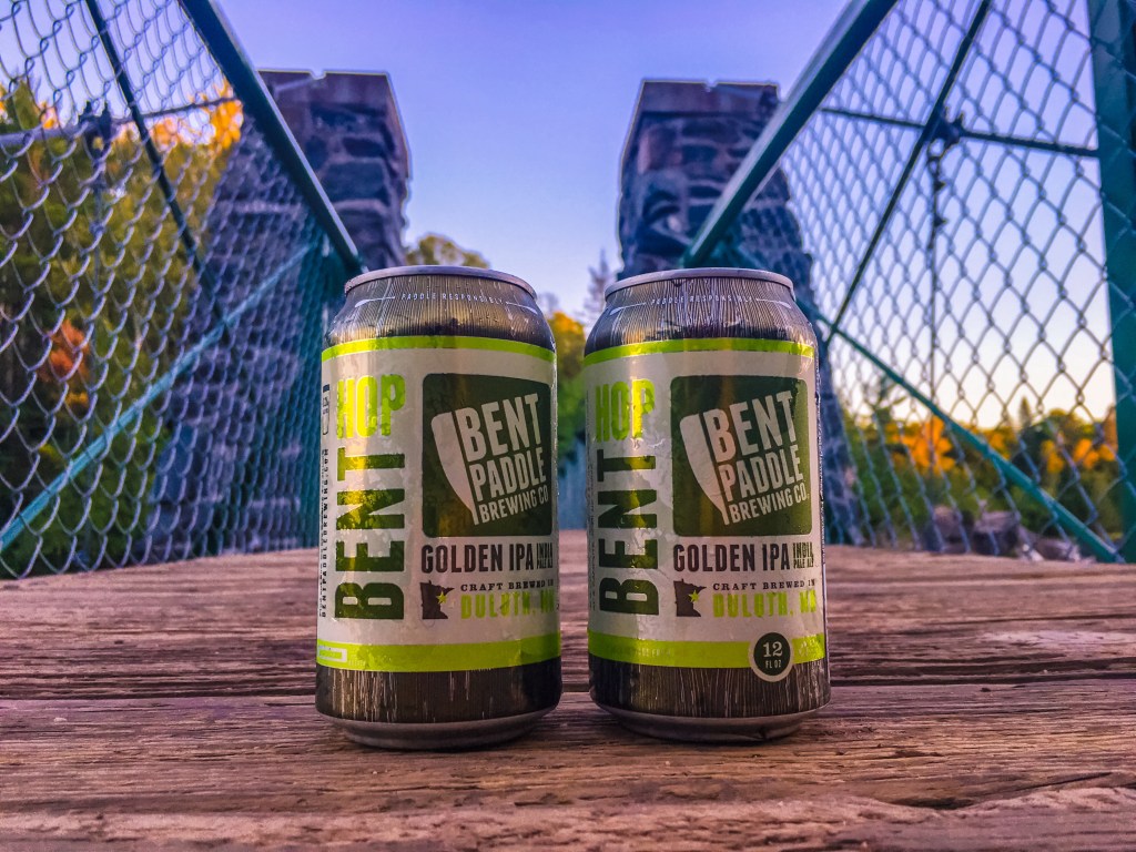
We then picked up our other vehicle from Wild Valley Road and came back to enjoy dinner and a Bent Paddle while the sunset on a perfect first day of hiking.

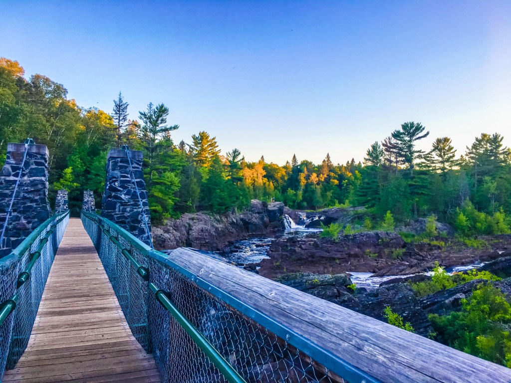
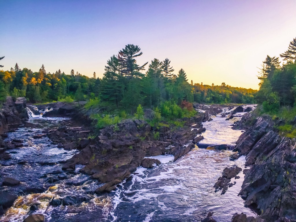

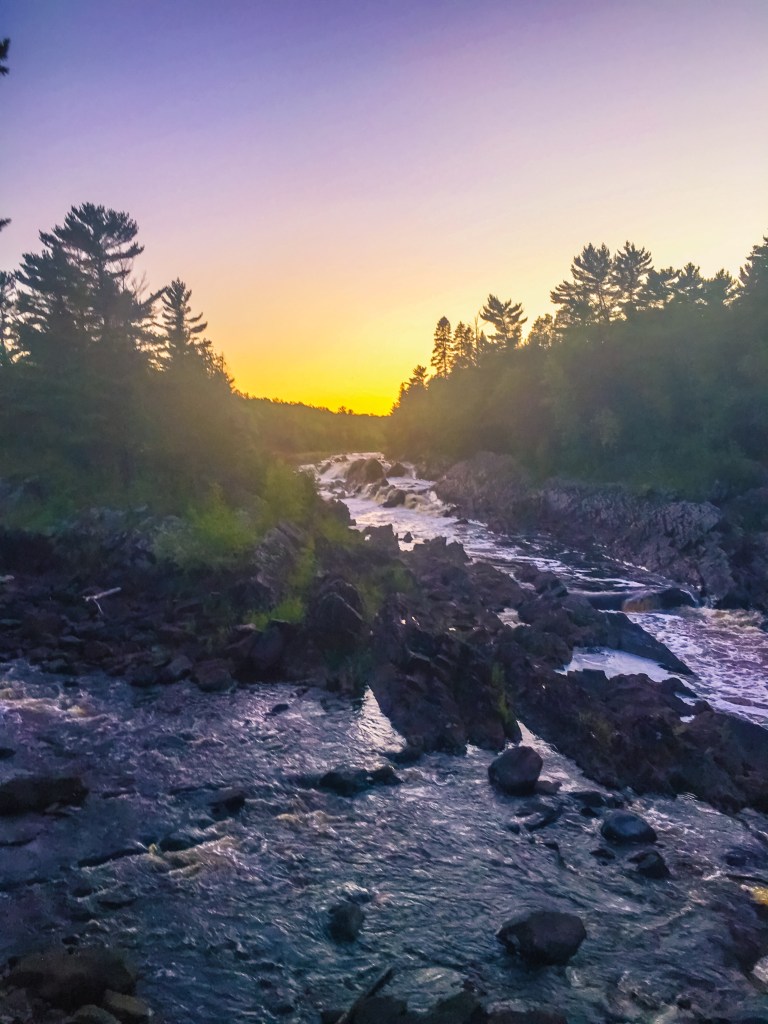
After a late start hiking at 3:30 PM, picking up our other vehicle, getting firewood and situated at our camp site there wasn’t much day left. We were done with the perfect time to watch the sunset at the swinging bridge over the St. Louis River at Jay Cooke State Park (where we camped). This summer I have definitely been fulfilling my goal of slowing down and making time to enjoy beautiful sunsets.
Day 1 Total: 9.7 miles of SHT + some tenths of miles around Jay Cooke. hike 41/52
Day 2 was our longest day of planned hiking. We were up the next morning, dressed and packed for our hike before most the campers were awake. Our motivation was to have time to relax post-hike at our campsite that evening. We caffineated and fueled on our drive to drop one vehicle at our ending trailhead before driving back to Jay Cooke State Park to start where we left off yesterday.
Last year we knew our total mileage and didn’t really break our hike up into the sections outlined in our guide book, which I highly recommend if you plan to hike this trail in any length. When m Garmin began registering different distances it really threw us mentally as to how long we had to go and how far. This year we did not use my Garmin, but instead relied on the maps and guidebook mileage. At each section start we paused to review what we were hiking, how long and landmarks to watch for. This strategy was so much better mentally for breaking up a long day on the trail. We also packed a lot more snacks. You get pretty hungry on the trail.
Jay Cooke State Park ➡️ Grand Portage Trailhead 5.9 miles


This section took us through and around Jay Cooke State Park. We enjoyed lunch along the St. Louis river before heading out for the next section which continued along the river for a while.
Grand Portage Trailhead ➡️ Fond du Lac Trailhead 4.1 miles

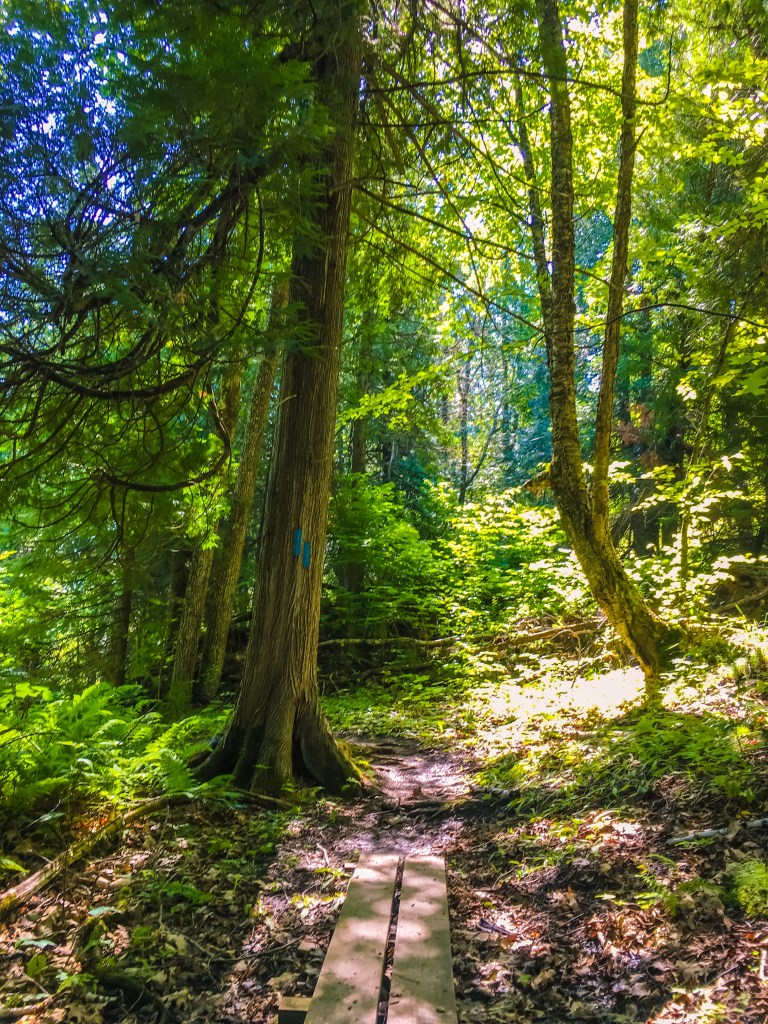
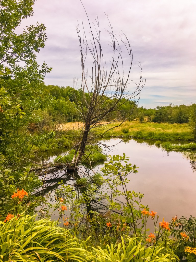
Our hike on the SHT had us crossing many bridges over various creeks. I have grown to get a little excited knowing a bridge is ahead in anticipation of what it might look like since they all seem unique.
Fond Du Lac ➡️ Becks Road 2.4 miles
Becks Road ➡️ Magney-Snively Trailhead 4.1 miles


Magney-Snively Trailhead ➡️ Spirit Mountain Campground Spur Trail 1.8 miles
When we returned to our campsite we were of course tired. We made a hearty one pan meal over the fire of potatoes, peppers, onions, chicken sausage and avocado and relaxed by the fire. Truthfully, I was falling asleep in my chair well before dark. Knowing we still had miles to go the next day we were sleeping early.
Day 2 Total: Jay Cooke State Park ➡️ Spirit Mountain Campground Spur Trail (18.3 miles) hike 42/52
We saved our shortest day for the last day knowing our legs were not used to hiking this many miles at once. Our morning was a little less rushing knowing we had less miles and materials to pack for a shorter hike. After getting in some caffeine, we were on the road to park a car at the finish line and head back to where we left off a year ago. We specifically picked a place with an obvious starting point and a place to park.
Our final miles to Martin Road took me by surprise. I was not expecting to see so much beauty on this section, but it was one of our favorites. We began our hike at the Chester Creek Trailhead. From here we hiked along the beautiful Chester Creek for almost a mile. A mom and and her fawn greeted us close to the start of the trail.


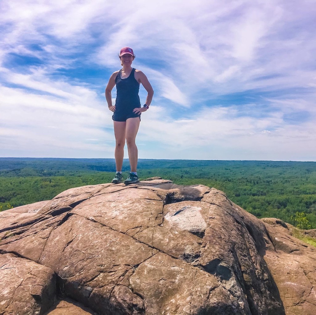
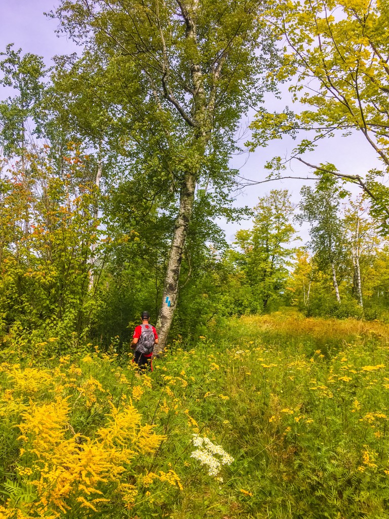
At the top of the ridge were views of Duluth and Lake Superior, and we enjoyed a snack. From the ridge we continued onward on University of Minnesota-Duluth’s Bagley Nature Trails eventually climbing to the top of Hunter’s Hill at 1,365 feet. Our first section of the day’s hike ended at the magnificent Hartley Nature Center abloom with wildflowers everywhere.

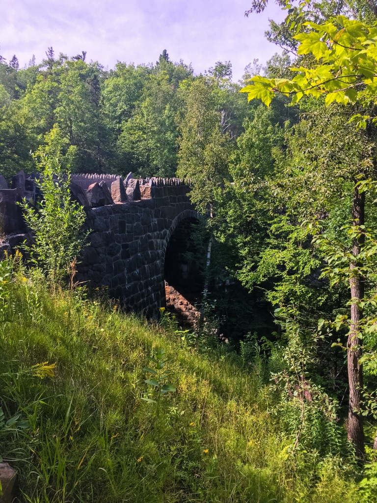
Our final section had us walking on a dirt road for around a mile before ducking back into the woods. These final miles ended up being more beautiful than expected with aspen trees, a small overlook and a change in rock scenery.


We followed the many wooden planks in this section satisfied with our work in less than 45 hours with a full heart, but also a bit of a heavy heart knowing our hiking adventure was nearing a close for the time being. The final distance greeted us with wildflowers all around as we dipped into woods one final time before coming out to the Martin Road Trailhead.

Day 3 Totals: Chester Creek Trailhead ➡️ Martin Road (7.5 miles) hike 43/52
Total Miles Completed: 35.5
This trail is a place of so many memories for us already. I can’t wait to continue the next 250+ miles as we continue North along the North Shore towards Canada in the years to come. I can only imagine with wonderment what the miles between Martin Road and the Northern Terminus will bring.
Map #1 WI/MN Border–>Martin Road (52.5 miles) DONE*
*Between the Spirit Mountain spur trail where we finished day 2 and Chester Creek Trailhead are 17.5 miles of the Superior Hiking Trail. We completed those miles last year. I never documented this last year, but I’m working on it now…soon!


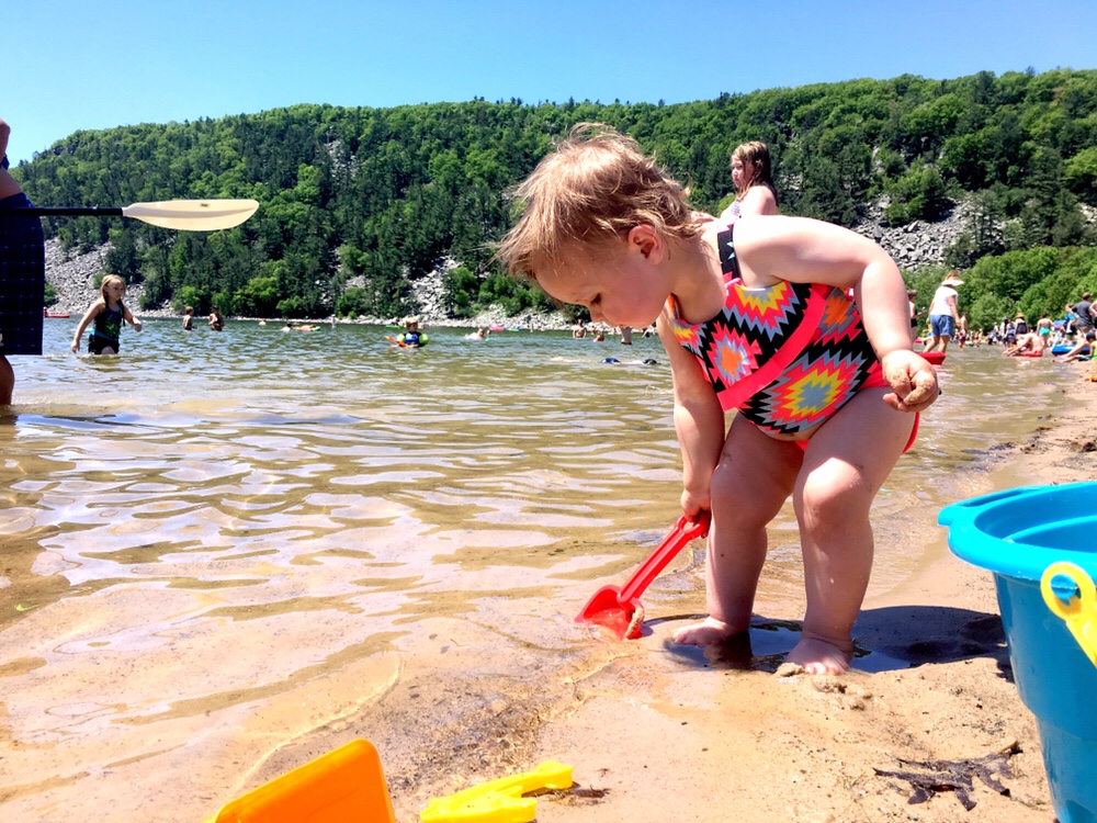
 With a heavy heart and a discouraged soul, I logged a few miles less than my training plan called for this morning. I walked away from a daughter saying, “I don’t want Mommy to run in the basement” despite not being more than two meters from her at any point during the 14 hours the day before. While I pushed “go” on the treadmill a Gigantosaurus (who is really enormous 🦖) roared his displeasure with me taking a few miles to myself.